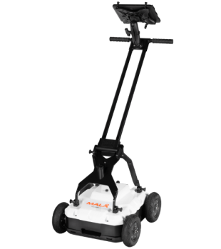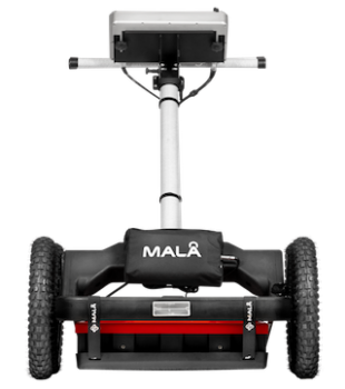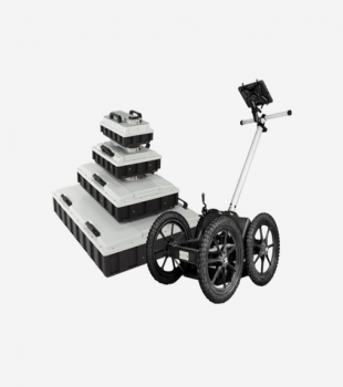


GeoDrone
The MALA GeoDrone Antennas are airborne GPR solutions developed for efficient field studies, specifically designed for data collection in remote, hazardous, and difficult-to-access areas. They offer effective data collection opportunities in challenging environments such as snowy ground, rocky and rugged terrain, rivers, lakes, and regions with avalanche risks. Utilizing Guideline Geo’s current HDR GPR technology, this system ensures safe, fast, and effective measurements in hard-to-reach sites.
- Airborne GPR antenna system developed for data collection
- Structure suitable for use in remote, hazardous, and difficult-to-access areas
- Effective use on snowy ground, rocky, and rugged terrains
- Opportunity for data collection in rivers, lakes, and avalanche-prone regions
- Utilizes Guideline Geo’s latest HDR GPR technology
- System structure suitable for safe, fast, and effective field operations
-
Application Areas
GeoDrone 80
- Detection of buried targets larger than 1 m at depths shallower than 10 m
- Identification of layers deeper than 2 m
- Bathymetry profiling studies
- River or lake bed profiling
- Determination of bedrock depth
- Detection of large sinkholes and voids
- Investigation of voids, particularly in limestone areas
- Examination of shallow sedimentary structures
- Deeper ice and snow measurements
GeoDrone 600
- Detection of buried targets smaller than 1 m at depths shallower than 2–4 m
- Layer identification up to 2–4 m depth
- Shallow bathymetry, ice, and snow profiling studies
- Shallow river or lake bed profiling
- Determination of shallow bedrock depth
- Detection of smaller sinkholes and voids
- Investigation of smaller voids, particularly in limestone areas
- Examination of shallow sedimentary structures